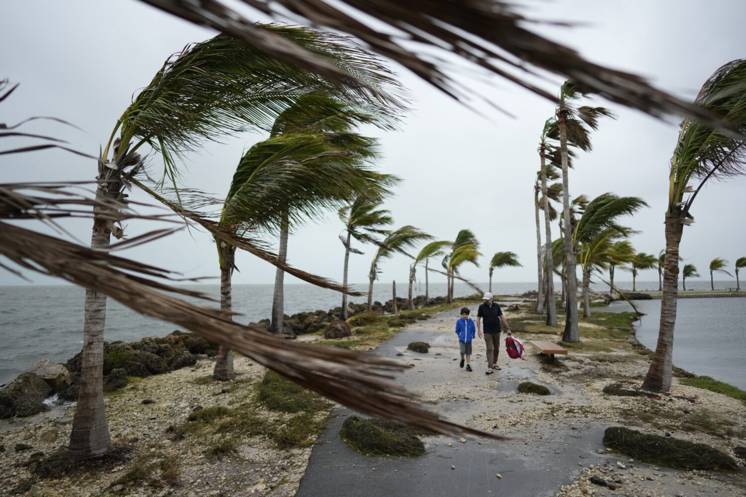
Donations will support coastal towns and emergency responders battered by the twin Atlantic storms. Funds are earmarked for flood recovery, emergency shelter, debris removal, infrastructure repair, medical care, and resilience grants. Contributions may be directed through vetted nonprofit disaster funds, community foundations in impacted states, and coastal flood relief programs.
Two tropical systems in the Atlantic are drawing concern for potential impacts to the U.S. East Coast. Hurricane Gabrielle, now intensifying, is producing swells and surf that already affect eastern seaboard beaches. Meanwhile, Tropical Storm Humberto has formed farther east and may eventually approach closer toward the Southeast U.S. coast. Forecasters are closely watching whether the two storms might interact or influence one another’s path, making prediction challenging. Coastal warnings for surf, rip currents, and possible minor flooding are in place from the Carolinas northward.
Hurricane Gabrielle, currently southeast of Bermuda, has strengthened significantly and is producing expansive waves, coastal swells, and rip current threats along the Atlantic. Though its track currently keeps it offshore, its large wind and wave field is affecting coastal surf zones and generating hazardous marine conditions from the Carolinas through New England. At the same time, Tropical Storm Humberto has recently developed farther east in the Atlantic, and models show it may move closer toward the U.S. coast over the coming days.
Meteorologists are monitoring a possible Fujiwhara effect, a rare interaction between two cyclonic systems in proximity that can cause them to orbit around each other or alter each other’s trajectories. If these storms interact, their paths may be pulled together or redirected in unpredictable ways, raising the risk that one or both could shift closer to land. The uncertainty complicates coastal preparedness and heightens the need for vigilant monitoring.
Even without direct landfall, the present conditions already pose hazards: dangerous surf, strong rip currents, coastal erosion, and minor flooding in low‑lying beach areas during high tides. Local and state coastal authorities have issued advisories and closures at vulnerable beaches. Residents and visitors are urged to heed warnings, avoid swimming in unsafe waters, and stay alert to forecast updates because the storm tracks remain fluid. As the systems evolve, relief planning and readiness in potentially affected coastal states are critical.